Underground GPS
Extend your GPS coverage to provide accurate positioning for navigation, emergency location and IoT tracking systems in subterranean structures such as tunnels, mines, and underground parking and retail spaces.
Underground GPS Signal Coverage
What is TunnelSat?
TunnelSat is an advanced tunnel GPS system that extends reliable satellite navigation underground, delivering accurate, real-time positioning signals. Ideal for tunnels, mines, and enclosed environments without live-sky GPS, TunnelSat enhances safety, navigation, operational efficiency, and location-based services.
How does TunnelSat enable GPS signal reception underground?
Utilising a zone-based solution for uninterrupted GPS reception underground, each zone represents a static latitude, longitude and altitude based on the actual location of the zone and not the location of a surface antenna which other repeater only solutions rely upon.
Using live ephemeris data, TunnelSat generates positions almost indistinguishable from true GPS, with seamless transitioning from live-sky GNSS to simulation and back.

Key Features

Seamless GPS Signal Transition
Uninterrupted switching between outdoor GPS and indoor simulated GPS coverage

Universal Compatibility
Supports all GPS-enabled equipment, including smartphones, professional P25, and TETRA receivers

Reliable Underground Positioning
Consistent navigation accuracy in tunnels, mines, and enclosed spaces

No GPS Signal Leakage
Zero RF interference and fully compliant with underground safety standards

No Receiver Modifications Required
Requires no additional accessories or software for GPS receivers
Benefits of Underground GPS
What does TunnelSat deliver?
The ability to gain accurate positioning above ground is often taken for granted, but what happens when you require the same service but move to an underground environment? Having a solution that blends seamlessly with existing GPS technologies is essential for many applications.

Tunnel GPS Enhances Safety in Emergencies
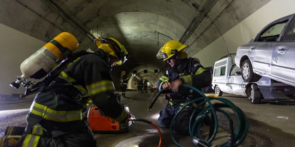
In emergency situations, such as accidents or natural disasters, knowing the exact location of individuals or vehicles in underground areas is crucial for effective and timely rescue operations.
Modern vehicles are now commonly fitted with eCall as standard, making the need for GPS on public underground highways, such as tunnels, essential to ensure this technology continues to function.

Underground Navigation and Location Accuracy
The ability to maintain GPS-aided positioning for navigation is hugely advantageous for most GPS users and can be critical for emergency services, delivery vehicles, and public transportation systems that rely on precise location data.
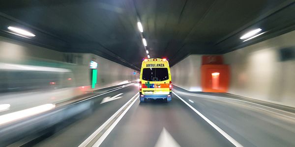
Providing vehicles or individuals with underground GPS positioning also ensures there is no delay in acquiring position once outside, which can be critical in situations such as emergency vehicles emerging from underground car parks.

Tunnel GPS Improves Public Transportation Management
For subways and underground trains, real-time location data can significantly improve operational efficiency, scheduling, and the overall management of the transit system. It can also enhance passenger information systems, providing real-time updates on train locations and expected arrival times.

Underground City Stores
For businesses and services operating in underground environments, such as retail outlets in subway stations, accurate location data can enable targeted advertising, customer flow analytics, and enhanced user experiences.

Worker and Asset Tracking Underground
In industries like mining or construction, where operations often occur underground, being able to track the location of workers and equipment in real-time is vital for safety and operational efficiency.

GPS SIgnal Coverage for Autonomous Vehicles
GPS forms a central part of the sensor stack for autonomous vehicles. Therefore, it remains essential to provide a GPS signal to aid navigation in every-day driving environments such as underground parking lots or tunnels.
How does TunnelSat deliver Underground GPS?
How does TunnelSat work?
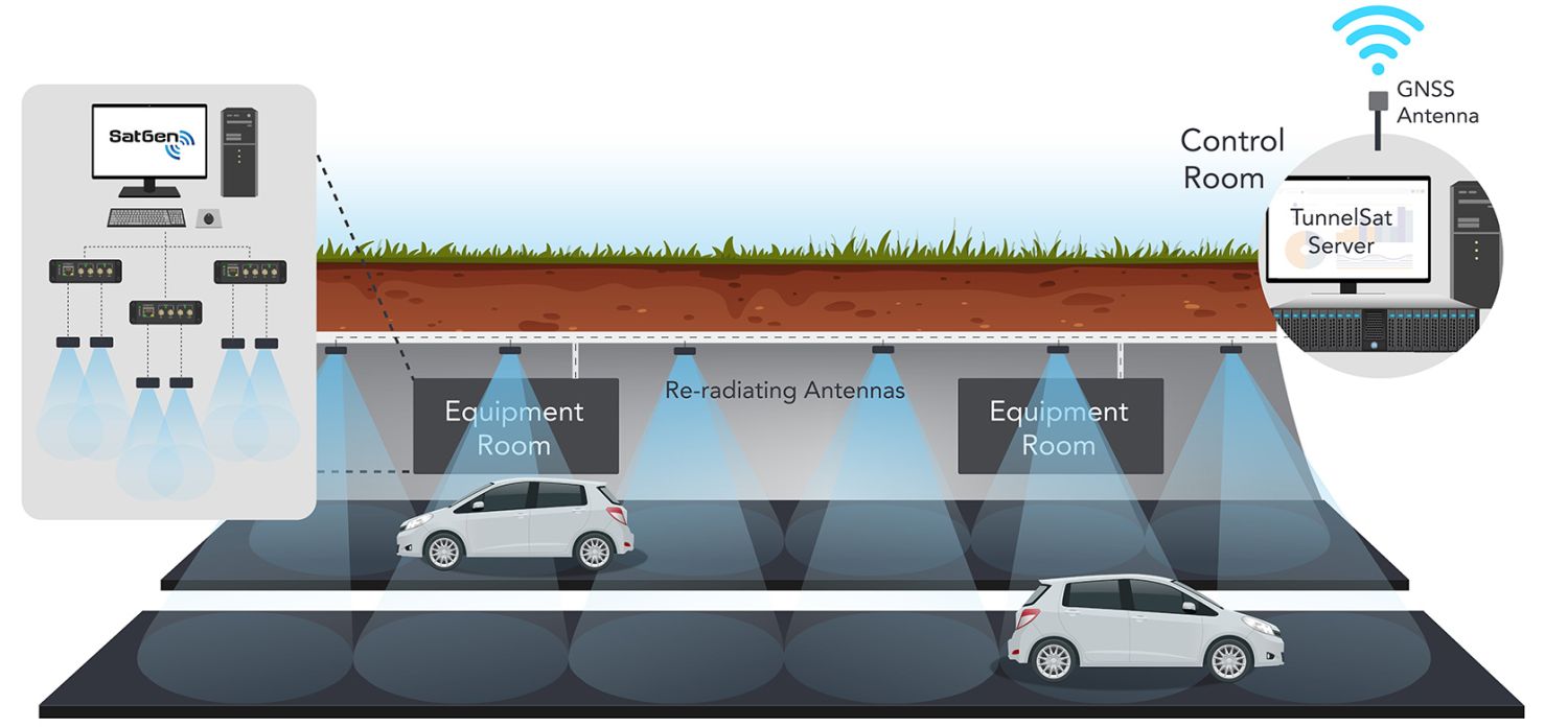
A series of radiating antennas are placed within a tunnel or underground structure. By connecting to a server recording live-sky GPS and utilising an accurate timing source, TunnelSat simulates the satellites signals that each antenna location would receive as if it was in the open and sends them in real-time.
A vehicle’s GNSS receiver or GPS device will use the GPS signals transmitted by the radiating antenna to calculate its position within the tunnel, depending on the vehicle's speed and its GNSS reporting frequency.
